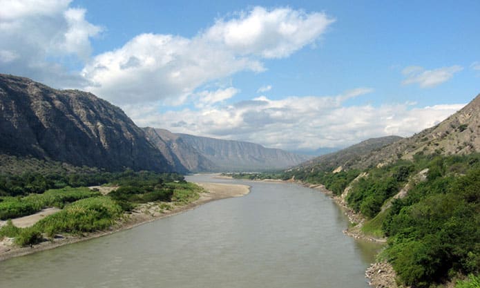
In Inca times it was known as Hatun Mayo, Quechua for “Great River”. Its length has been estimated at 1,800 km, and it is one of the main headwaters of the Amazon.
Its confluence with the Ucayali forms the Amazon River. It rises on the Yarupa snow peak (5,800 m above sea level) and takes its name from the point where the Puchca and Arancay rivers meet. It flows north-northwest between the Western and Central Cordilleras to the mouth of the Chinchipe; it cuts through the Central Cordillera at the Pongo de Rentema; continues north and then northeast; and, 160 km beyond that gorge, after the Santiago River, crosses the Eastern Cordillera at the Pongo de Manseriche. It then receives the waters of the Huallaga, which add greatly to its flow. The river is navigable up to the Pongo de Manseriche.
HISTORY
It is said that one of the members of Gonzalo Pizarro’s expedition in search of the Land of Cinnamon, discouraged by the difficulty of navigating the many waterways and exploring the forests along them, told his captain that it was a “maraña” (a tangle), to which the captain replied: “Not a maraña, but a marañón!” (1542).
Francisco de Orellana reached the Atlantic, and later Spain, by following its current. Its true discoverer was Marshal Alonso de Alvarado, who crossed the river on his way to Chachapoyas to subdue the rebellious peoples of the region.
The course of the Marañón was properly mapped by Father Samuel Fritz in his famous map of the Amazon region (1707), and it was very difficult to navigate before steamships came into use on its waters.
Advertisement