
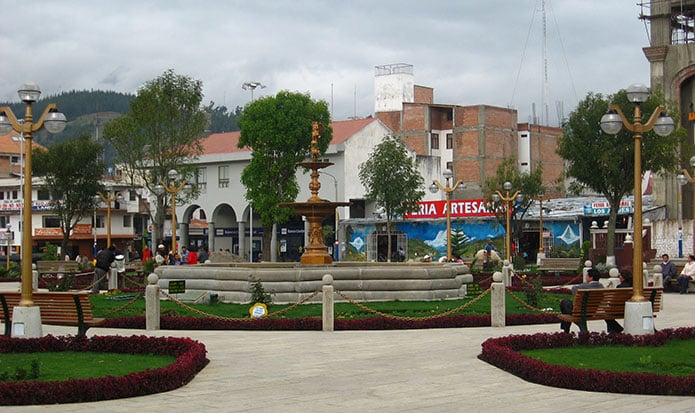
Huaraz is known as the “Switzerland of Peru” because of the snow-white peaks of the Cordillera Blanca. It is one of the main travel destinations in Peru, with unbeatable mountain scenery. Nearby rises Peru’s highest mountain, Huascarán (6,768 m / 22,205 ft), the highest peak in the tropics.
Huaraz has everything a traveler could want: archaeology, nature, mountaineering, folklore, history and living culture. Close to the city is Huascarán National Park, where the Puya raimondii blooms and where you find the turquoise Llanganuco lakes.
Chavín de Huántar is the region’s most important and iconic archaeological monument. A visit takes you back to the beginnings of civilization in Peru (around 1200 BC), and its carved stones reveal the architectural and artistic achievements of that distant past.
Quechua is still widely spoken here; it is common to hear guides and local people speaking a variety of Quechua different from that of Ayacucho and Cusco.
There are several routes to Huaraz, but the most spectacular is the Callejón de Huaylas, the valley of the Santa River, which flows towards the sea between the Cordillera Negra and the Cordillera Blanca.
ÁNCASH REGION
Established: February 12, 1821, as Huaylas; renamed Áncash by decree of February 28, 1839.
Capital: Huaraz.
Area: 35,914.8 km²
Provinces (20): Aija, Antonio Raimondi, Asunción, Bolognesi, Carhuaz, Carlos Fermín Fitzcarrald, Casma, Corongo, Huaylas, Huaraz, Huari, Huarmey, Mariscal Luzuriaga, Ocros, Pallasca, Pomabamba, Recuay, Santa, Sihuas and Yungay.
HUARAZ
Founded: January 20, 1572.
Altitude: 3,052 m (10,013 ft) above sea level.
Area of the province: 2,492.9 km²
Districts (12): Huaraz, Independencia, Cochabamba, Colcabamba, Huanchay, Jangas, La Libertad, Olleros, Pampas, Pariacoto, Pira and Tarica.
Huaraz has been destroyed twice: first on December 13, 1941, by a flood of mud and ice from Lake Palcacocha, and then on May 31, 1970, by a magnitude 7.9 earthquake, which also buried the town of Yungay.
Advertisement